
About Us
Moonshadow Mobile, Inc. is an Oregon-based Internet technology and consulting company owned by a small group of founders, investors and employees. Our mission is to improve the way people understand, visualize, analyze and work with big data.
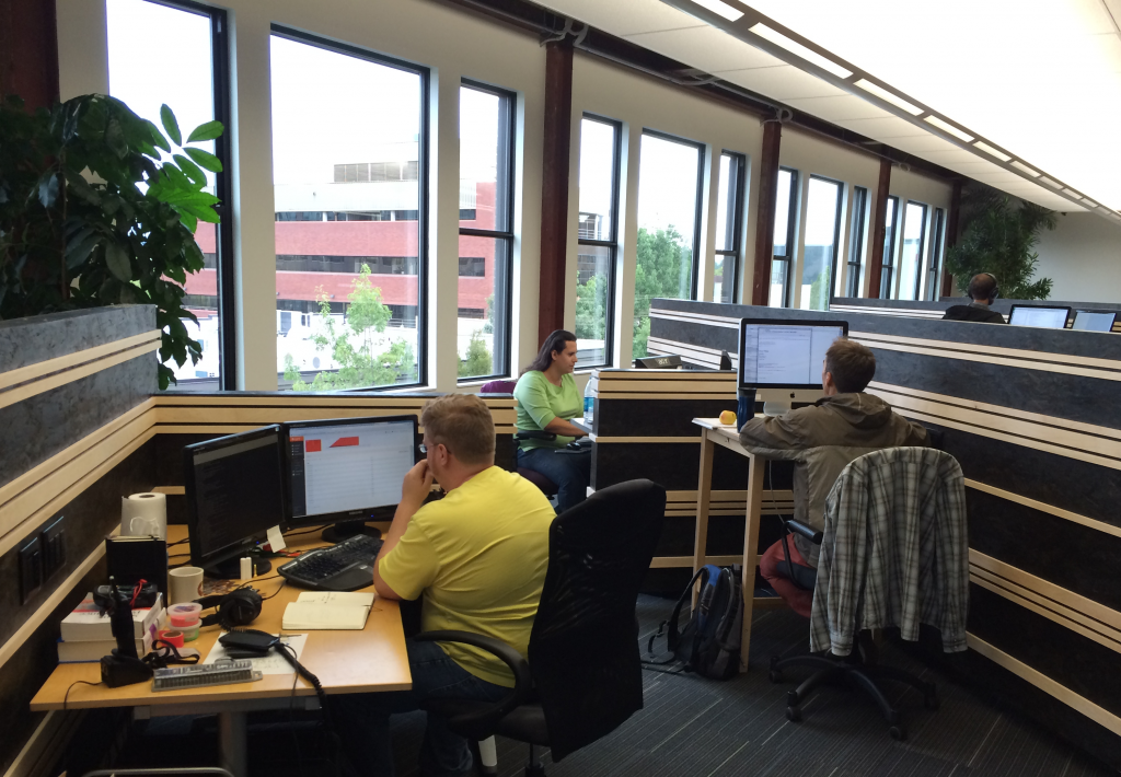
Moonshadow’s founders, software engineers, database experts, sales and support staff are all dedicated to creating innovative technology and exceptional consulting services, that breaks barriers and makes new things possible.
Moonshadow Mobile is a data engineering firm specializing in geospatial and time-series data at scale. Moonshadow provides services and products to help streamline your data management. We typically work with datasets well over 100 million records.
Moonshadow has developed breakthrough patented database technology to search, enhance, navigate, retrieve and visualize datasets in an online analytics platform at speeds not previously possible.
Moonshadow developed a data compression tool, MMZIP, that can enhance and filter datasets during decompression. MMZIP will speed up data transfers, reduce storage costs and speed up data merging processes, often by 10-100x.
Moonshadow’s technology has been widely used in today’s transportation planning environment. In this environment the problem isn’t a lack of access to data, it’s turning the vast amounts of available data into useful information that helps planners and agencies make informed decisions. Moonshadow’s DB4IoT has solved this problem and is enabling transportation decision makers to explore vast amounts of connected-vehicle data quickly and efficiently.
Moonshadow developed technology that works with datasets such as registered voter data and U.S. Census data. This technology has been used by hundreds of political campaigns and over 200 congress members.
We visualize “big data” over interactive maps with cutting-edge analytics tools. Our intuitive user interfaces are built around familiar online maps environments, so it only takes minutes – not hours or days – to get up to speed. We make it easier to navigate, search, visualize and analyze data in practical ways on desktop, laptop and mobile platforms. All you need is a web browser and fast Internet connection. There is no need to download or install software.
Location-enabled data sets combined with powerful geospatial visualizations and analytics tools are defining the next wave in big data analysis. Geospatial visualization delivers fresh insights by allowing users to easily recognize key spatial relationships and correlations within large data sets. Visualizing those relationships provides a useful way of organizing big data and a more intuitive path to understanding what’s happening among the columns, rows and cells in the database.
Geospatial visualization unleashes the human brain’s remarkable abilities to process visual information and detect patterns and complex relationships buried within huge volumes of data. It unlocks fresh perspectives and insights that might otherwise remain hidden. As an essential part of business intelligence, data mapping and geospatial visualization of big data allows you to see concepts and results in more interesting and useful ways to make faster and better-informed strategic, managerial and operational decisions. Seeing is believing.
Whether you are dealing with real-time data, historic time-series data or static data, Moonshadow’s cutting-edge, patented database engines and geospatial visualization capabilities provide state-of-the-art solutions. We shrink the database footprint, deliver blazing-fast data access speeds and require fewer server resources to deliver immediate ROI for our clients.
![]() Moonshadow developed our breakthrough patented Ephemeris® database engine for working with static location-based datasets such as registered voter files, census files, demographic and psychographic data.
Moonshadow developed our breakthrough patented Ephemeris® database engine for working with static location-based datasets such as registered voter files, census files, demographic and psychographic data.
We subsequently developed our patented DB4IoT™ database engine that was purpose-built for the Internet of Moving Things. DB4IoT has the potential to transform operations and optimizations for public transit agencies, inform short and long term transportation planning and transportation engineering efforts and unleash the potential of connected vehicle data.
![]() DB4IoT can track and display the GPS location, vehicle health, diagnostic, and other sensor data, from hundreds of thousands of moving objects simultaneously over interactive maps. This provides the ability to track, monitor, and analyze transit data collected from moving objects – cars, trucks, buses, trains, shipments, mobile devices and more. Visualize data over interactive maps in real time and play back historical data animations with analytics and dashboards.
DB4IoT can track and display the GPS location, vehicle health, diagnostic, and other sensor data, from hundreds of thousands of moving objects simultaneously over interactive maps. This provides the ability to track, monitor, and analyze transit data collected from moving objects – cars, trucks, buses, trains, shipments, mobile devices and more. Visualize data over interactive maps in real time and play back historical data animations with analytics and dashboards.
Moonshadow is headquartered in the heart of downtown Eugene, OR. Eugene is Oregon’s second largest city, with a vibrant Northwest atmosphere and an extremely well-educated populous of approximately 180,000. One-third of the city’s population has completed four or more years of college. Eugene is home to the University of Oregon and Lane Community College.